About us
Our role
The Archives of Ontario is one of the largest provincial archives in Canada.
We’re tasked by the Archives and Recordkeeping Act (2006) with collecting, preserving and providing access to the documentary heritage of the land we now call Ontario and its people. We fulfill this mission by acting as the Government of Ontario’s recordkeeper. We also collect records of provincial significance that private individuals, organizations and businesses donate to us.
Learn more about our archival, library and art collections.
Find out how to access items in our collections and what to expect when you visit our Reading Room.
As the Archives Division within the Ministry of Public and Business Service Delivery and Procurement, we also provide leadership in recordkeeping, access and privacy across the Government of Ontario, provincial agencies and the broader public sector.
Our work
Our staff do many kinds of work to keep our collections safe, organized and accessible to the public.
Conservation staff assess and repair all types of records in our Preservation Services Lab. Every record requires its own treatment plan to ensure its long-term preservation.
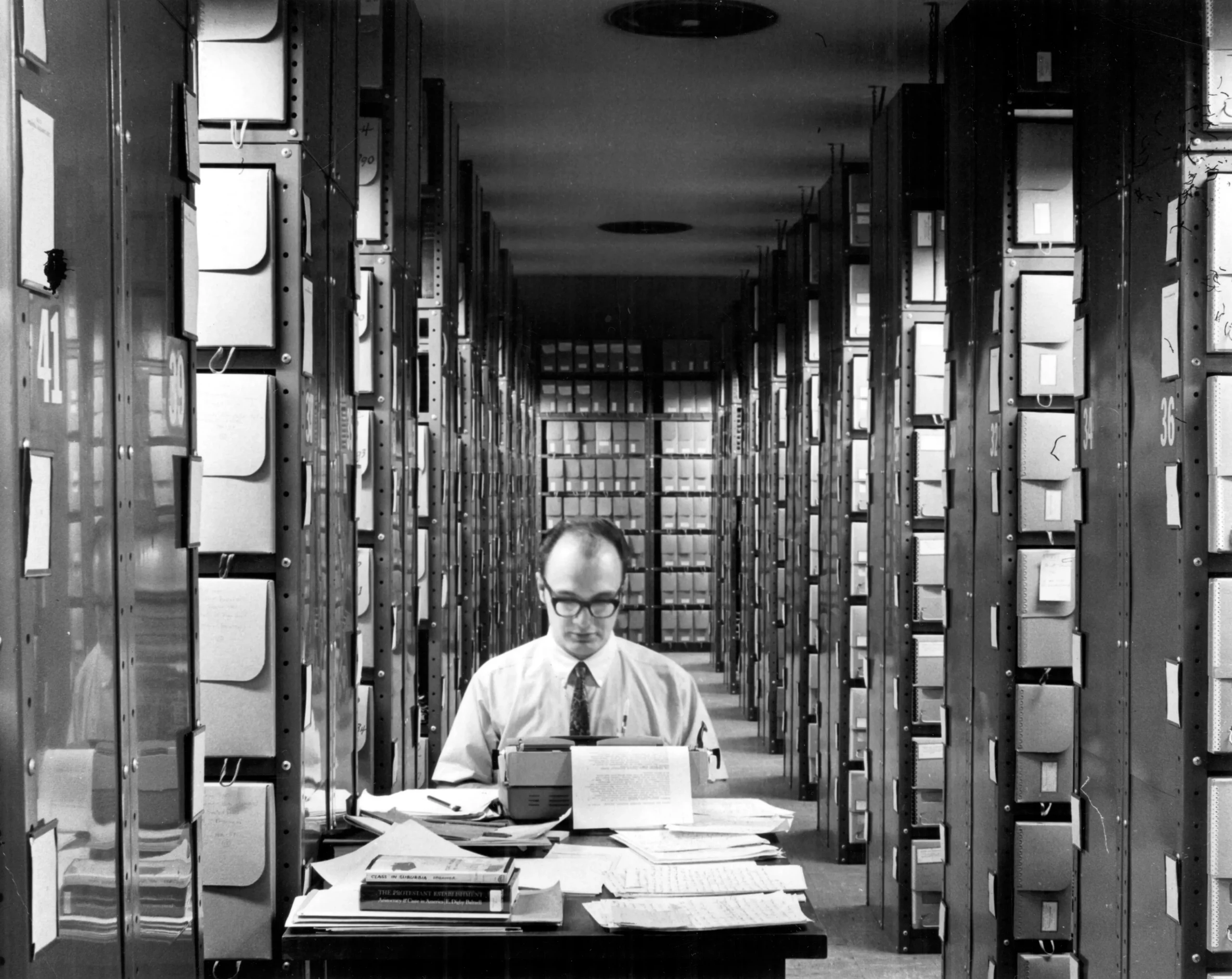
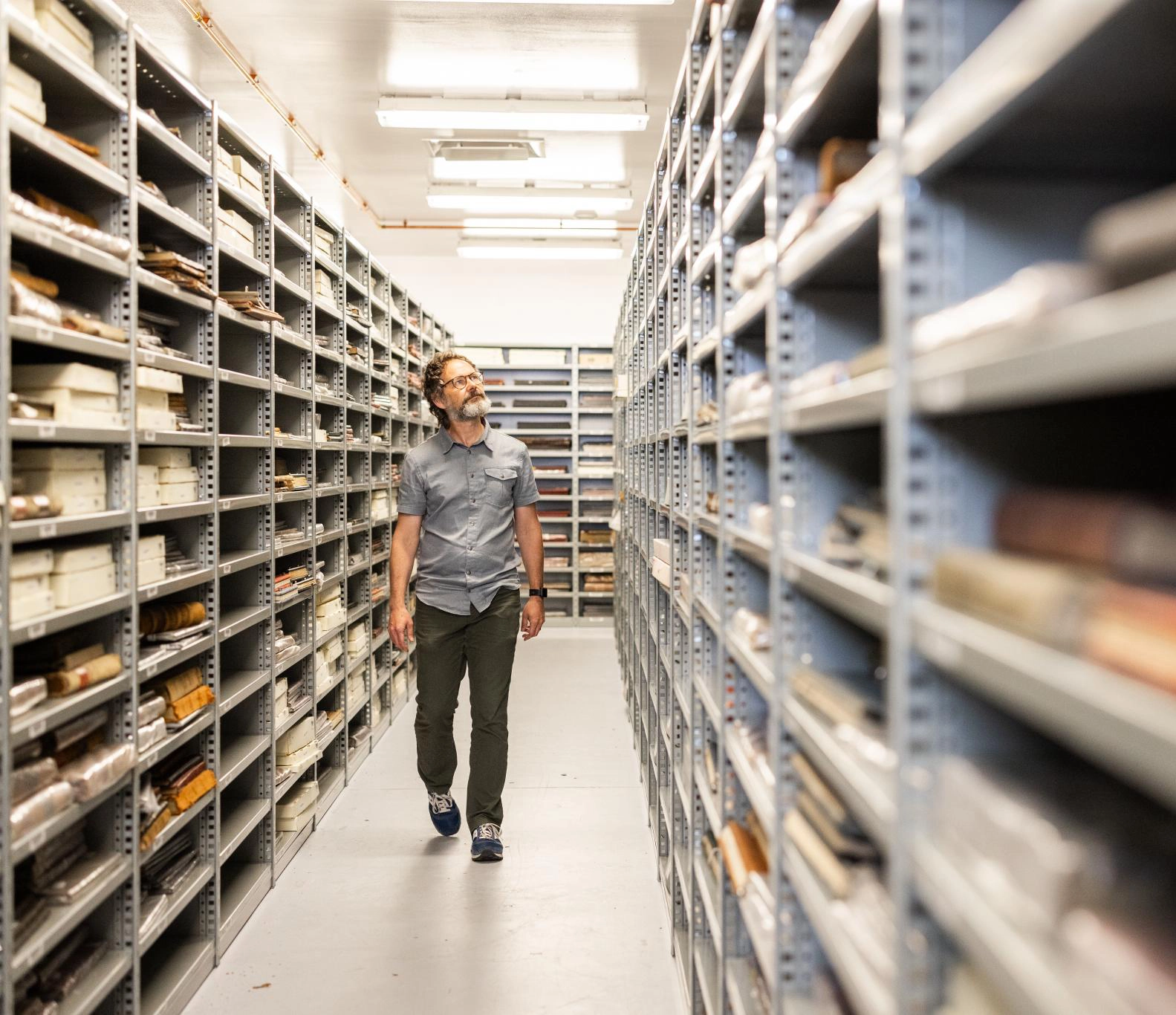
Processing archivists arrange and describe our archival collection to make it findable in Collection Search. Retrieval staff handle the physical movement of record boxes from our storage vaults to our Reading Room.
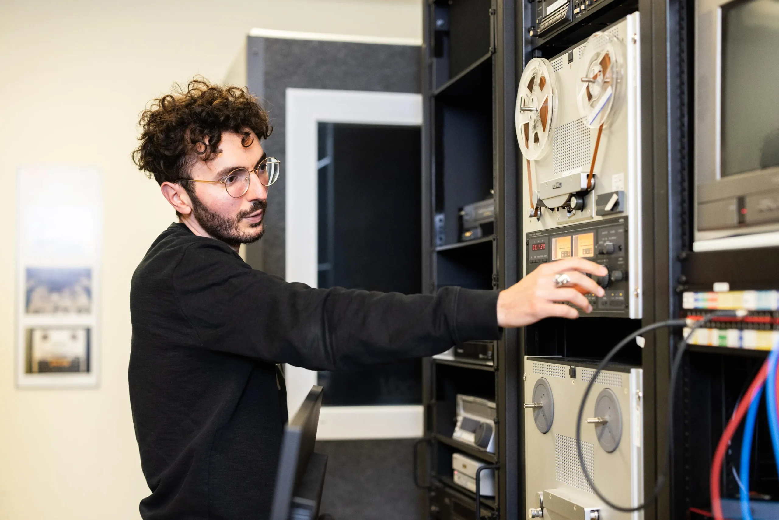
Most of our film, audio and video records require hard-to-find analogue technology to play. Our reproduction team creates digital access files from original motion picture and magnetic media records to make them easier to share.

Reference archivists help clients find items in our collections that they want retrieved to the Reading Room or have copied.
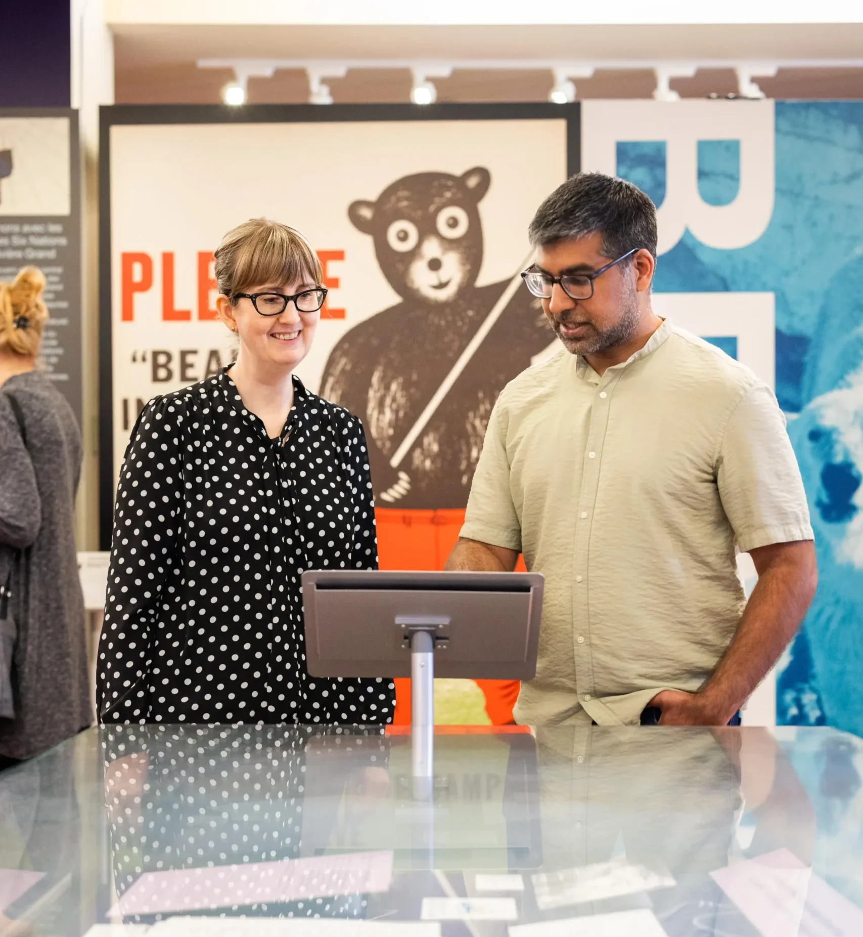
Outreach and education staff work with communities to learn about and share new histories about Ontario, and provide free history programming for educators and classes of all ages.

Our history
The Archives of Ontario was founded in 1903 as the “Bureau of Archives.” First established to preserve documents related to the colonization and settlement of Ontario, our mission gradually expanded into regularly collecting and preserving government records for public research—part of the emergence of a modern and global archival profession that began in the 1920s.
We’ve had many homes since our founding.
Our earliest storage vaults were little more than repurposed attics and basements in the Ontario Legislature buildings.
In 1951, we moved into our first purpose-built facility at 14 Queen’s Park Crescent West, which featured statues of key historical leaders in Ontario set into the brickwork.
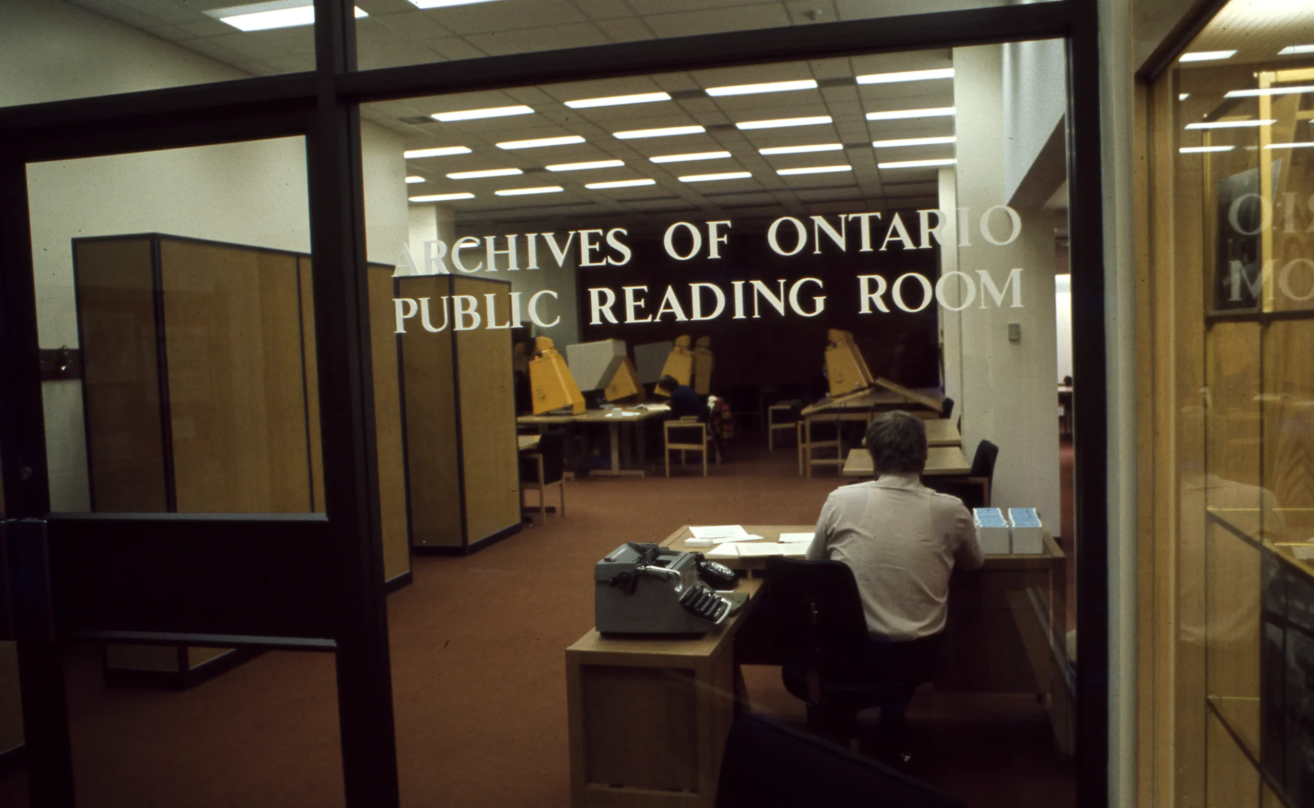
In 1972, we landed at 77 Grenville Street—today, part of Women’s College Hospital. Here, we had space to expand our private record donations program and put on exhibitions showcasing the rich histories contained in our collections.
In 2009, we moved into our current facility on the Keele campus of York University. The building was designed from the outset to be our long-term home, with 13 storage vaults, a conservation laboratory, classroom, exhibition hall and Reading Room and other features that gave us the much-needed flexibility to grow into an archives that serves the changing needs of the public today and tomorrow.
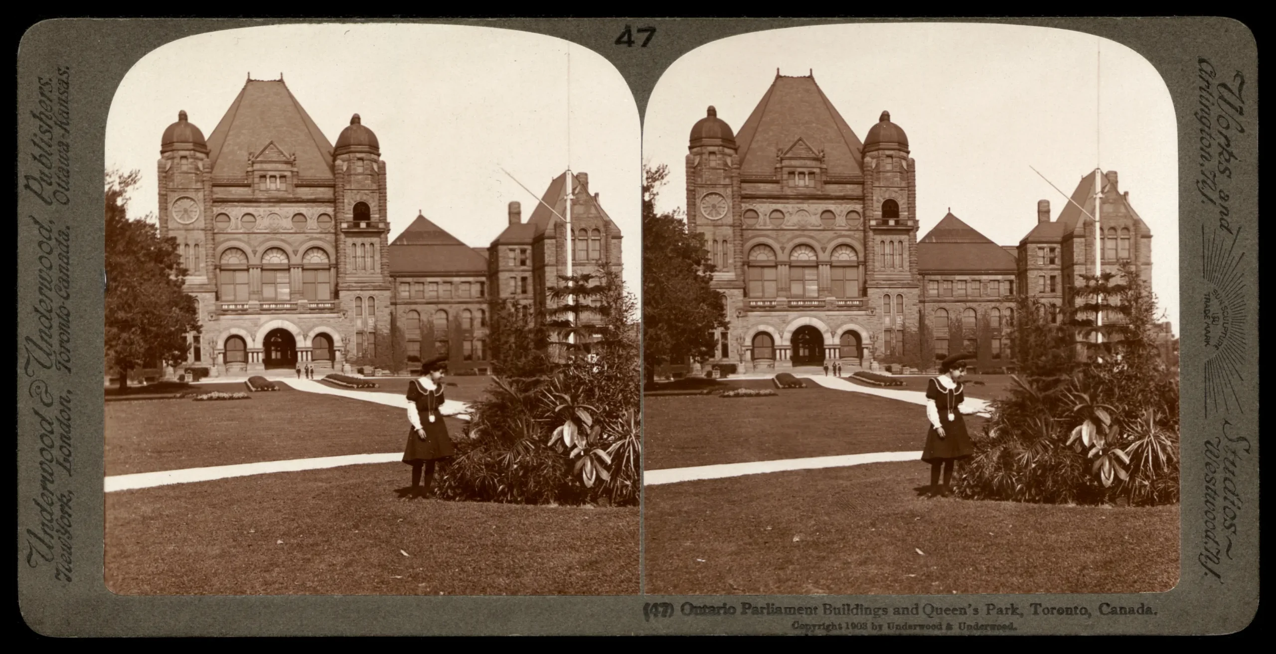 Sepia-toned photograph of the facade of the Ontario Legislative Building at Queen's Park in Toronto with a young girl standing in the foreground.
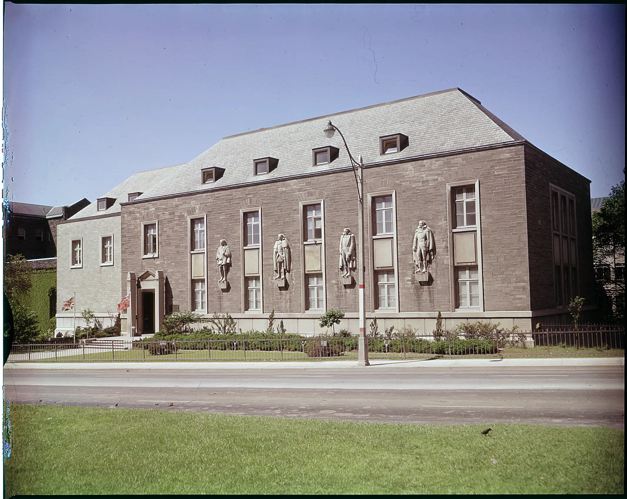 Colour photograph of the facade of a brick and stone building with a pitched roof and four large relief statues embedded into the brickwork.
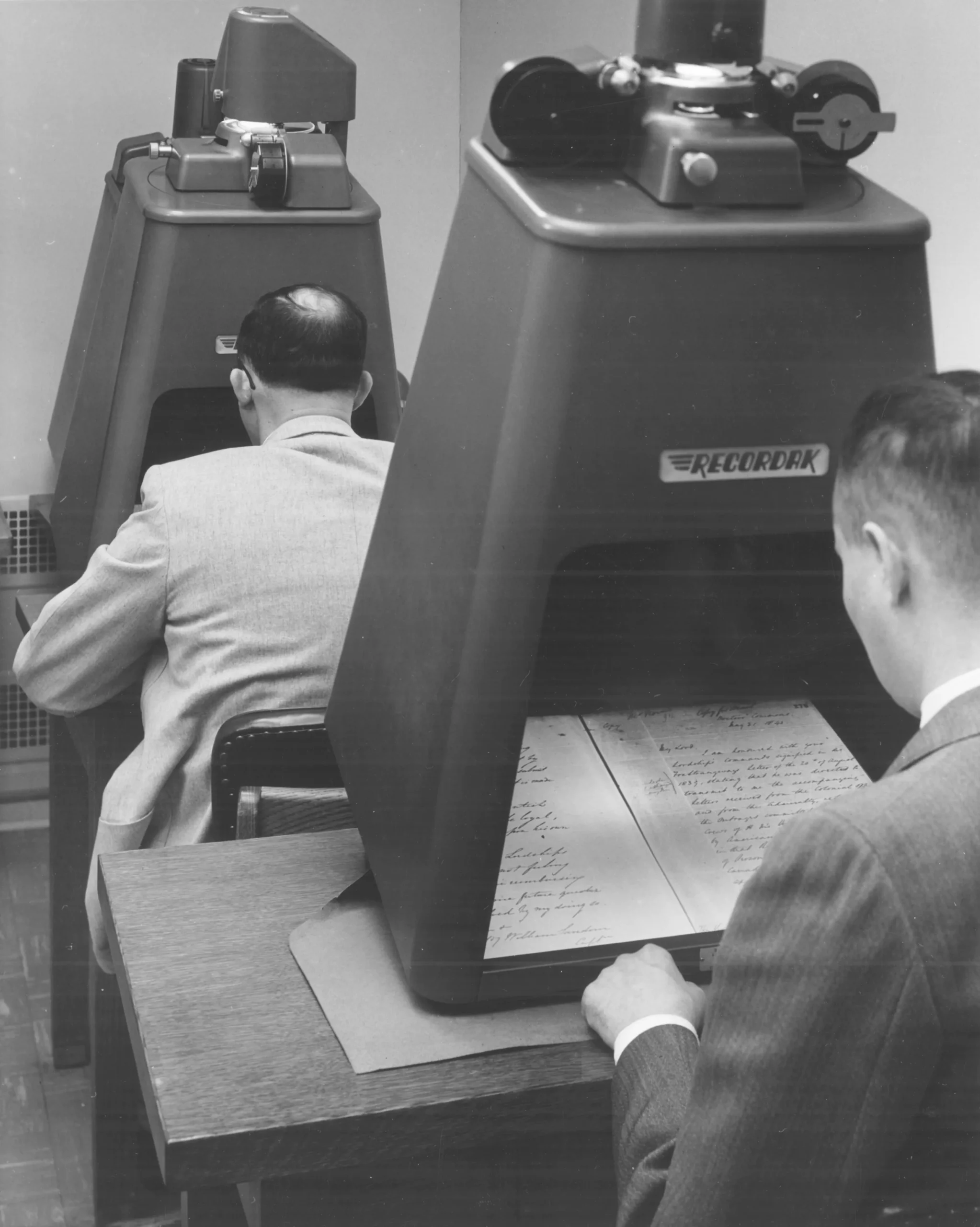 Black-and-white photo of a row of people sitting at desks with tall pyramid-shaped domes housing equipment for projecting and reading microfilm.
 Colour photograph of the entrance to an imposing concrete building with a yellow sign affixed to the wall with brown lettering that reads “Archives of Ontario, 77 Grenville.”
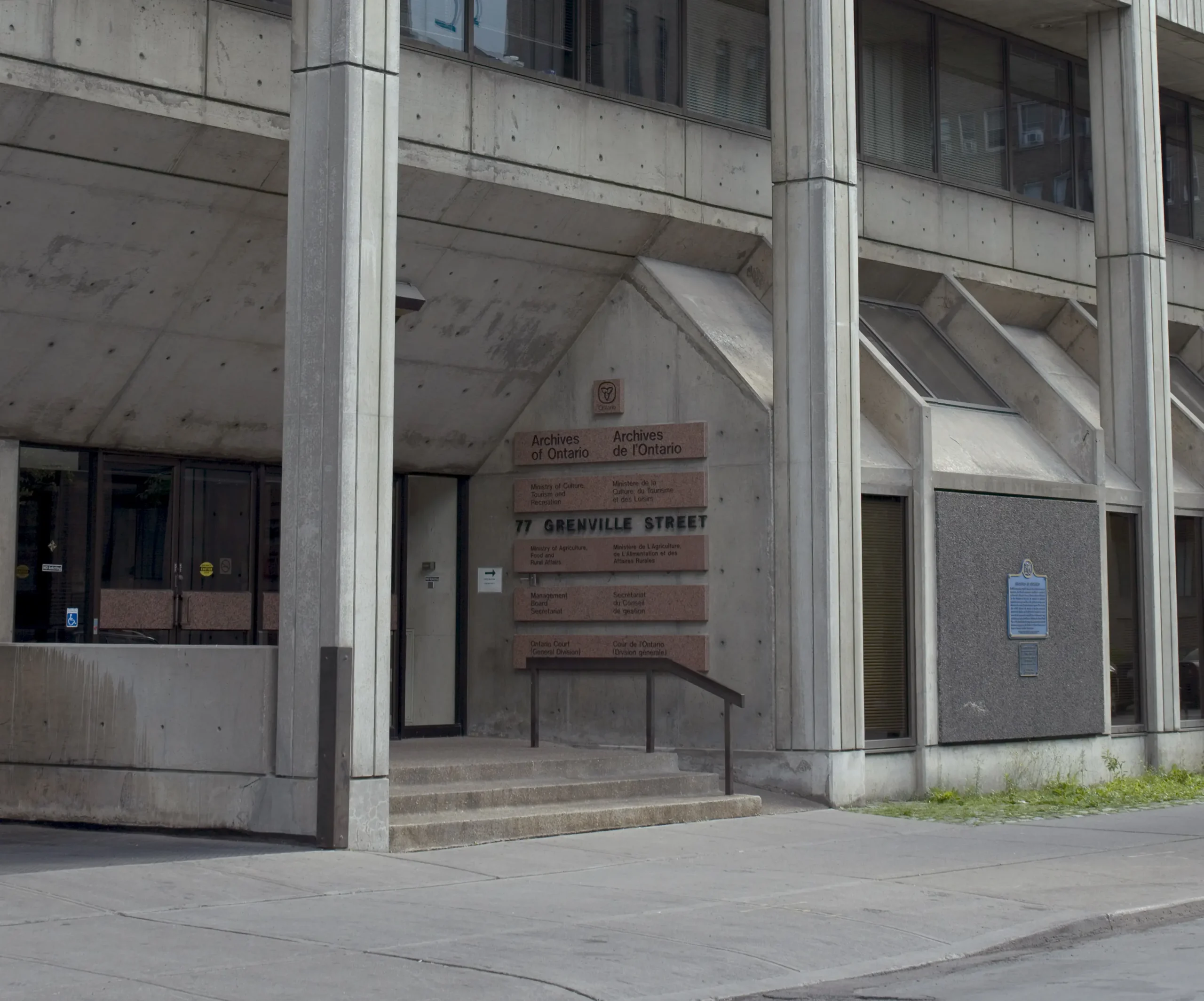 Entrance to a concrete building with a sign near the doors reading "Archives of Ontario."
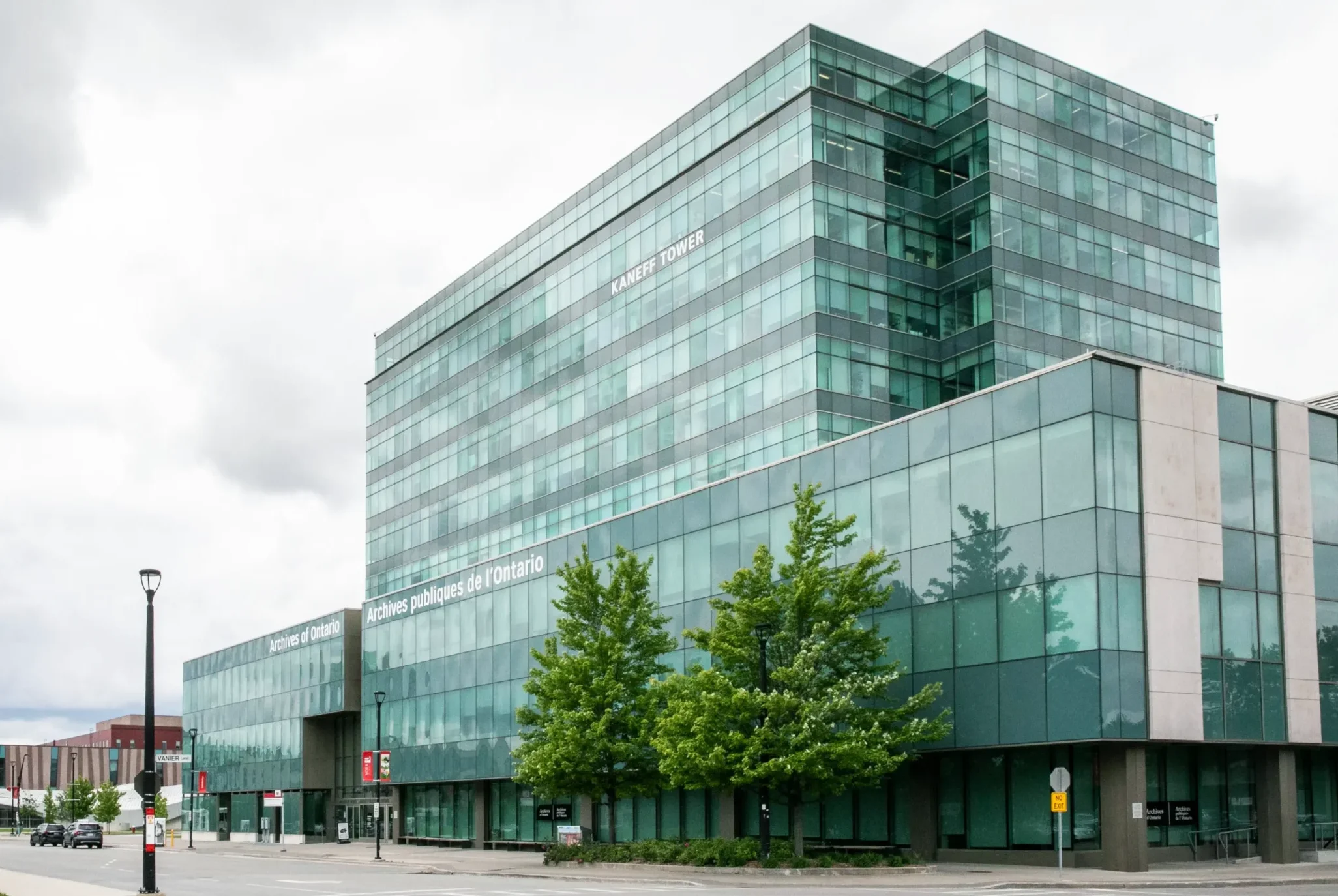 Exterior view of a block-length nine-storey glass building set against a grey sky with the words “Archives of Ontario” and “Archives publiques de l’Ontario” printed on the facade.
Carousel images
- Ontario Parliament Buildings and Queen’s Park, Toronto, 1903, I0013622 [detail]
- Archives and Canadiana Building, 14 Queen’s Park Crescent West, Toronto, 1960, RG 65-35, I0005726
- Researchers using microfilm readers at the Archives of Ontario, 1968, RG 17-43, 2-B-1361, I0009026
- Archives of Ontario Reading Room, ca. 1975, I0052240
- Entrance to Archives of Ontario, 77 Grenville Street, Toronto, 2008
- Archives of Ontario, 2024