PRÉCÉDANTE

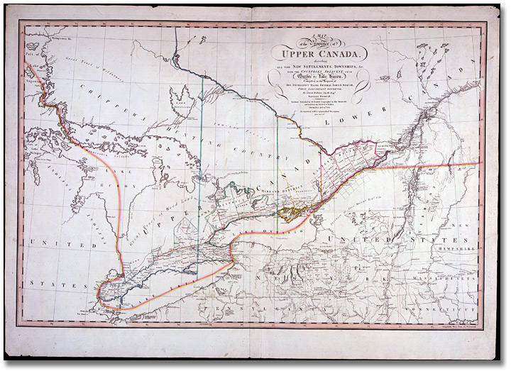
A Map of the Province of Upper Canada, describing
all the new settlements, townships, etc.
with the countries adjacent, from Quebec to Lake
Huron, compiled at the the request of
His Excellency Major General John G. Simcoe,
1800
David William Smyth, arpenteur
général, compilateur W. Faden,
London, éditeur
Collection de carte diverses
Code de référence : C
279-0-0-0-34
Archives publiques de l’Ontario,
I0004758
|
