Lands and maps
We hold land records documenting the colonization, settlement and mapping of Ontario from 1764 to 1999, including petitions, grants, patents, plans, maps and aerial photos.
-
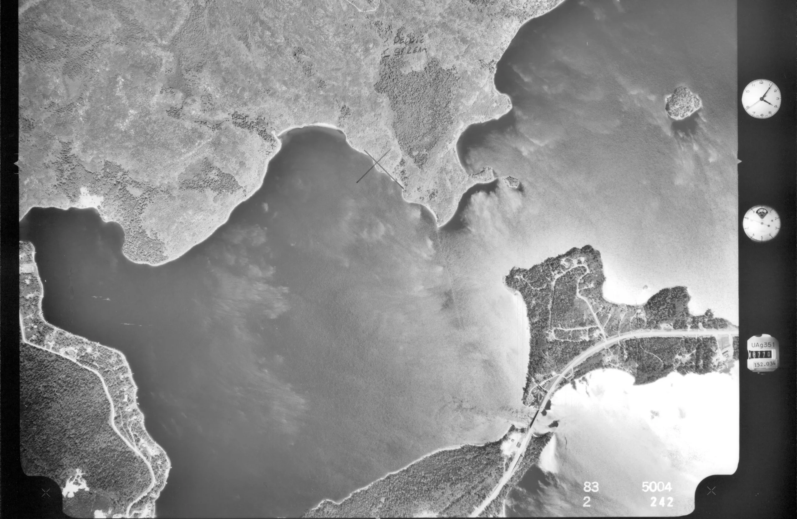
Aerial photographs
Find aerial photographs of the Province of Ontario captured between 1920 and 1999.
-
Crown land – Patents
Find letters patents and patent plans for land in what is now called Ontario from the 1780s to 1984.
-
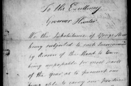
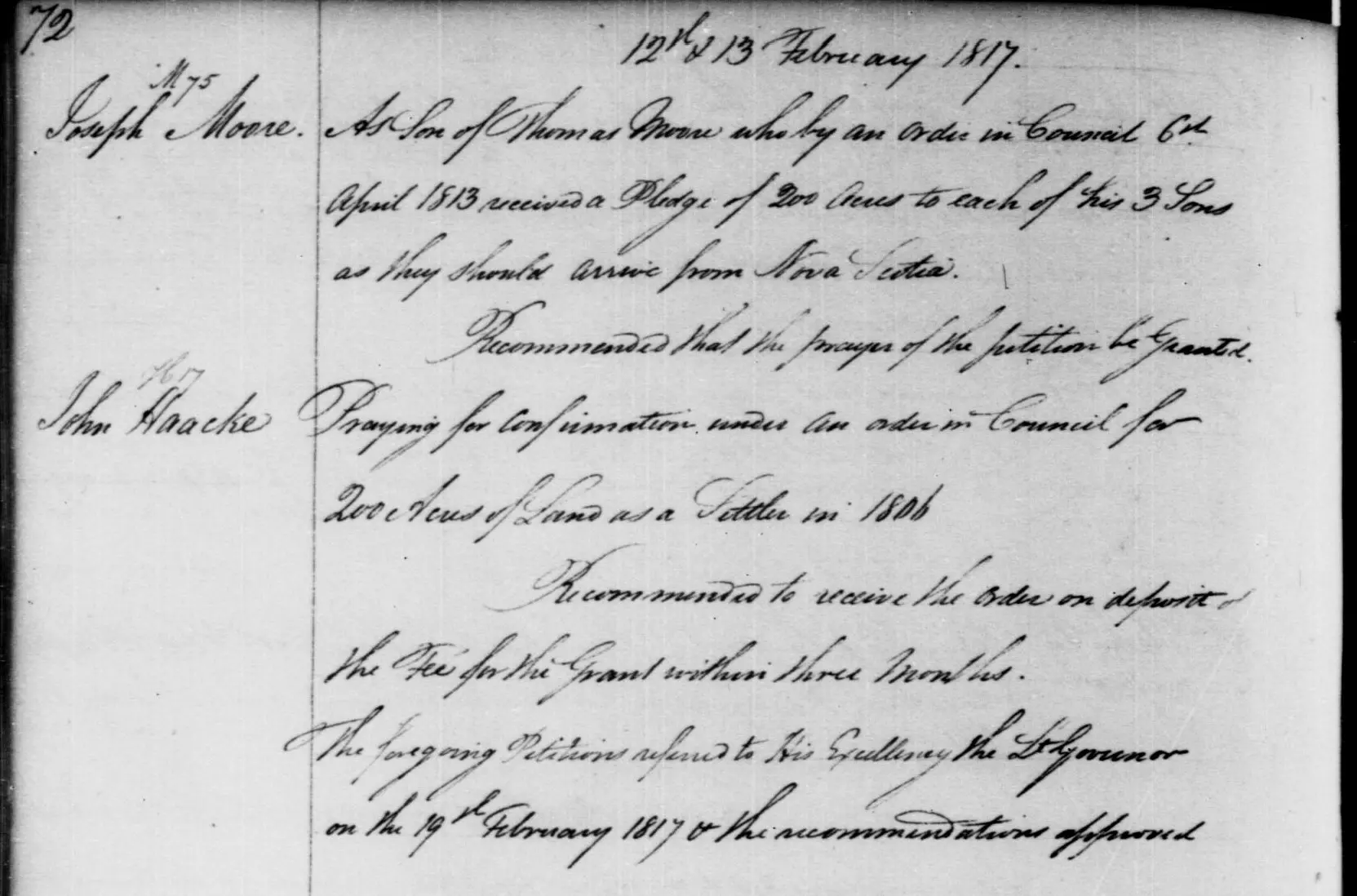
Crown land – Petitions
Research land petitions from 1763 to 1904 that were written or signed by individuals and associations seeking land in what is now called Ontario.
-
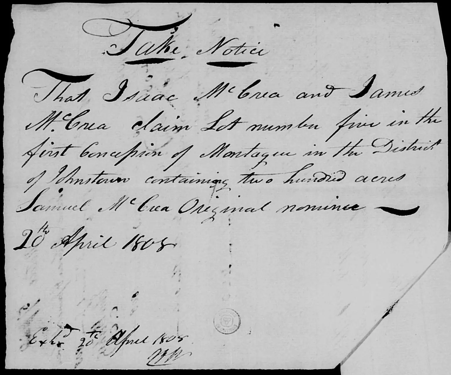
Crown land – Grants and sales
Find records from 1787 to 1996 related to the granting, leasing and sale of crown land to settlers in what is now called Ontario.
-
Heir and devisee commission case files
Research case files from 1805 to 1895 related to land claims submitted to the Second Heir and Devisee Commission.
-
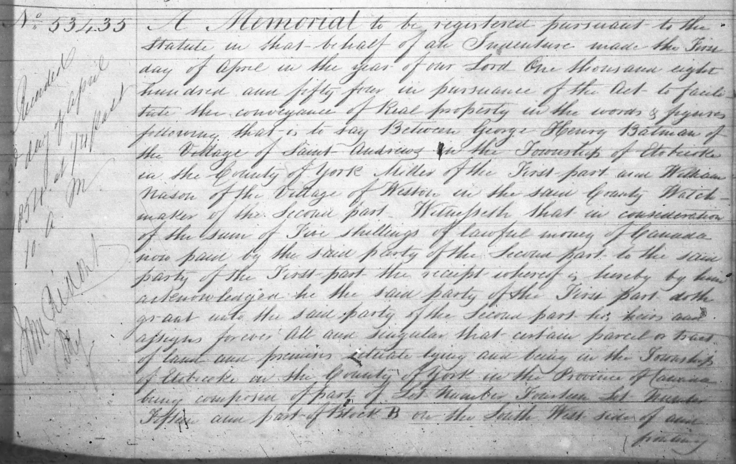
Land registrations
Research registrations of private land transactions in what is now called Ontario from 1795 to the 1880s for most counties and up to 1955 for a small number of counties.
-

Land use planning
Find provincial government records related to its role and interest in municipal land use planning.
-
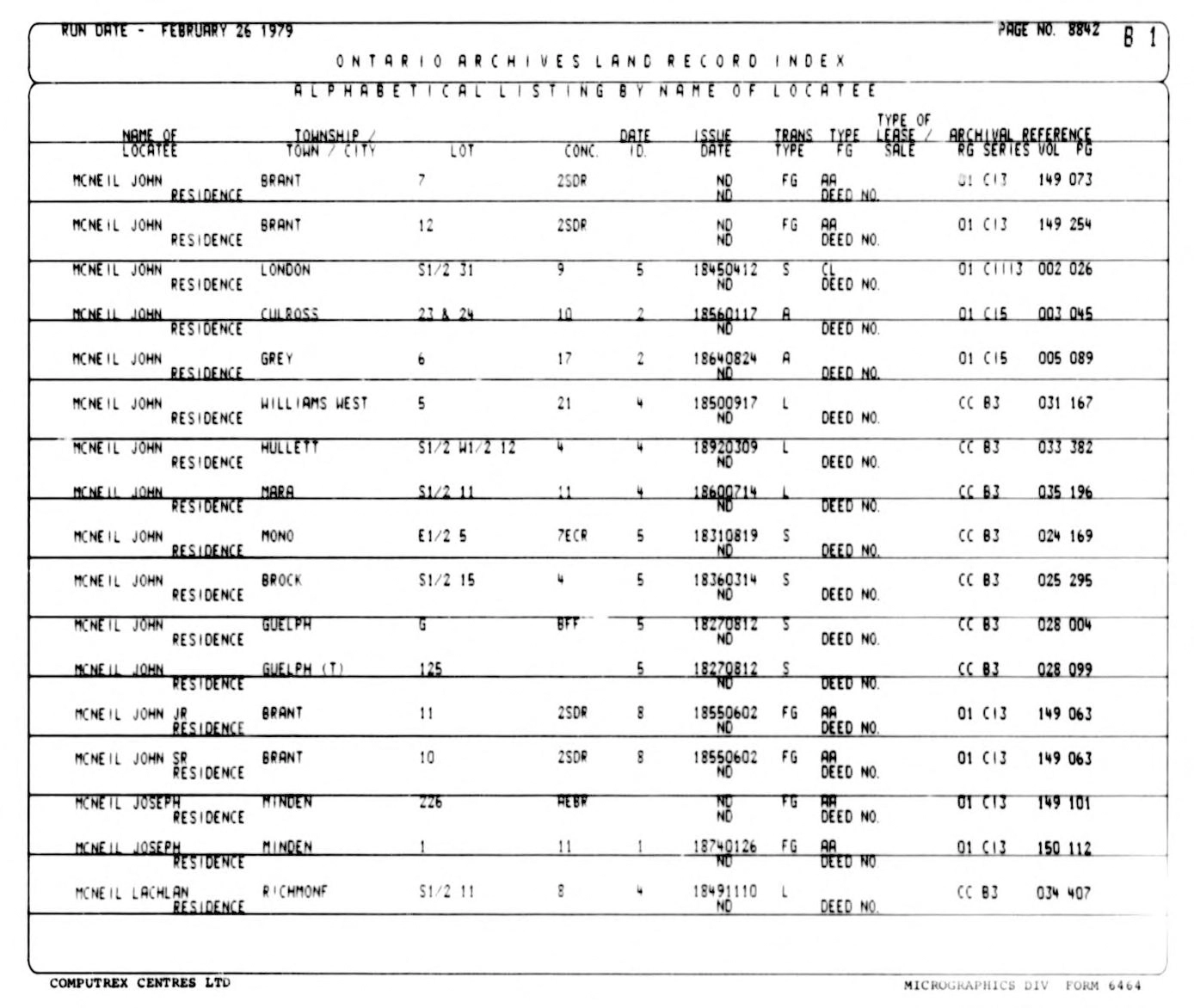
Ontario Land Records Index
A consolidated index to crown land records created by the Archives of Ontario.
-
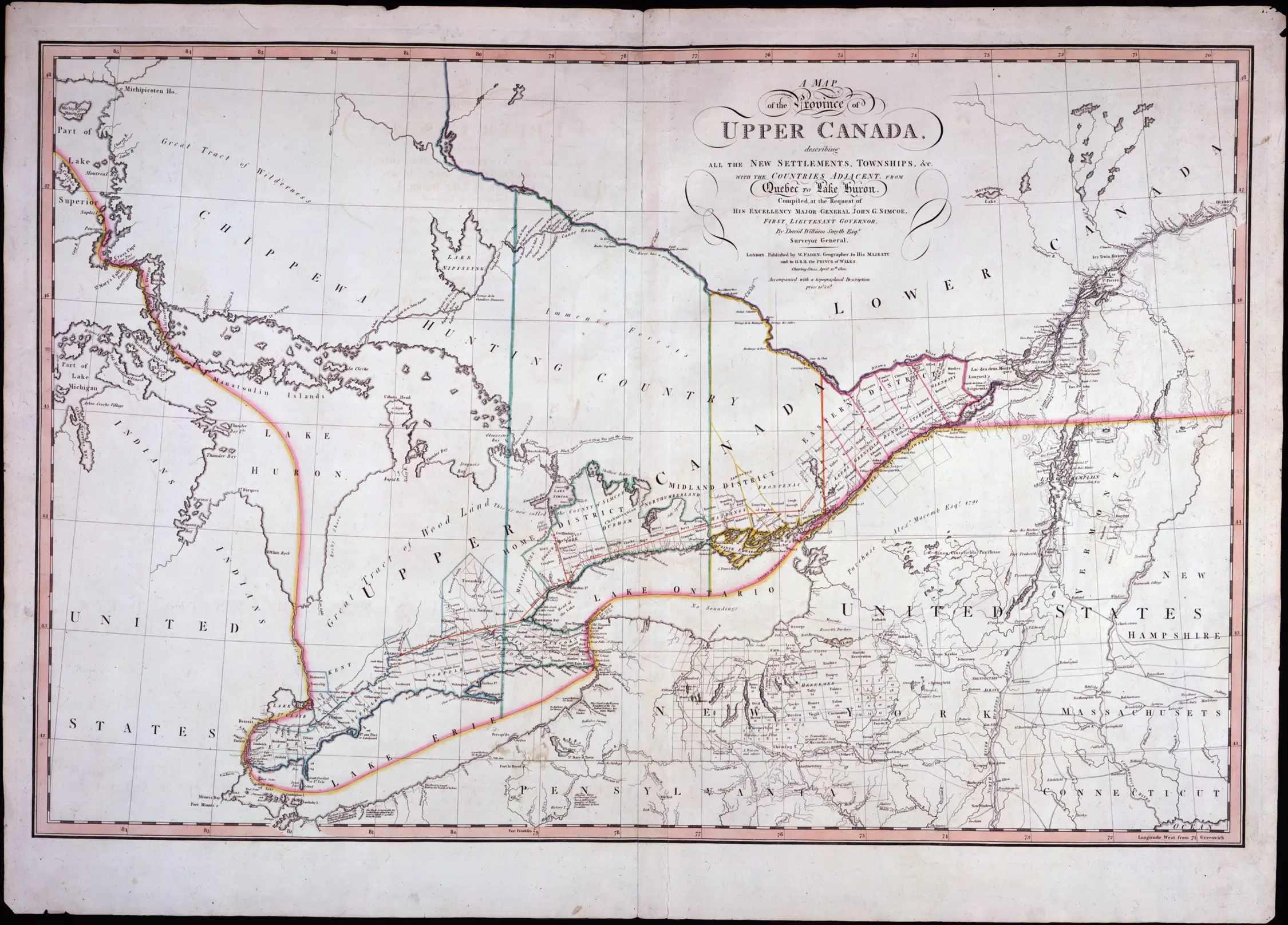
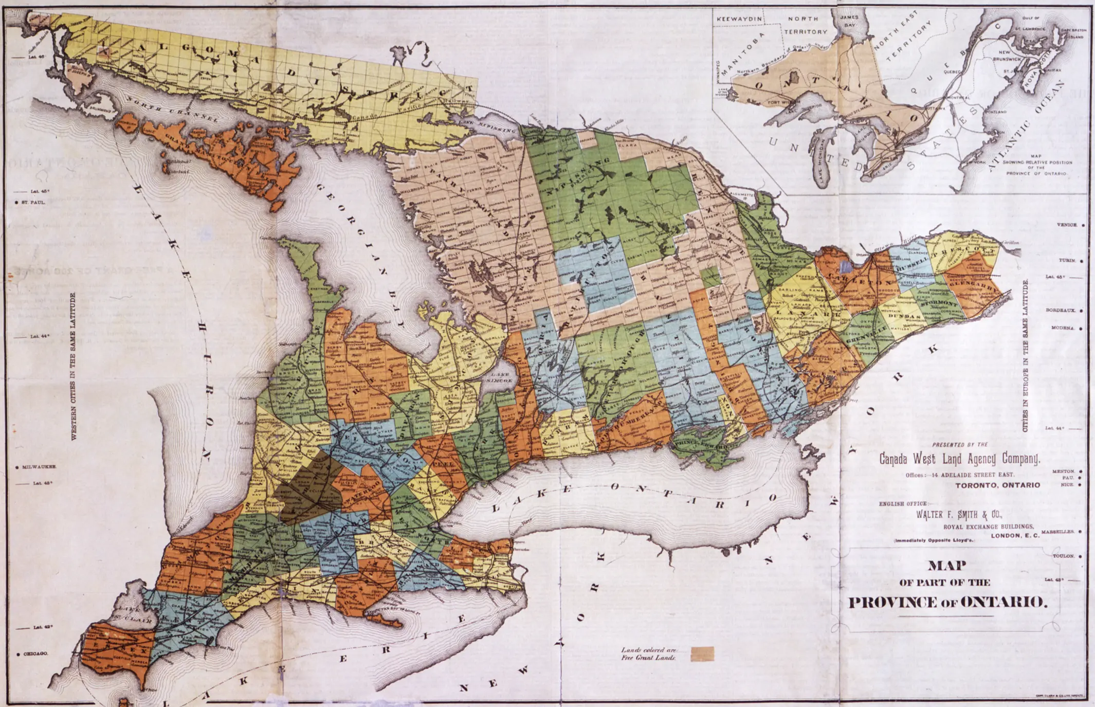
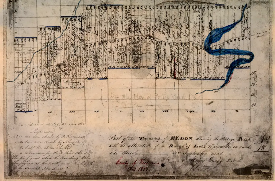
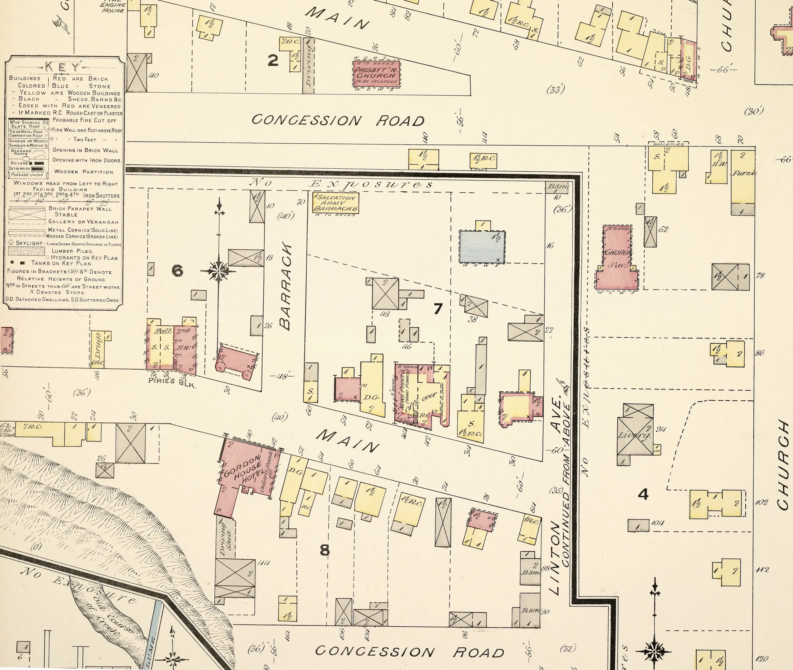
Ontario maps
Find maps showing the evolution of Ontario boundaries, including districts, townships and regions.
-
Property assessments
We hold property assessments for some Ontario municipalities as well as provincial assessment records from the late 1980s to early 1990s.