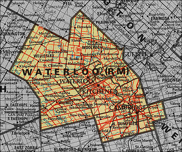
Regional Municipality of Waterloo
Created in 1972 from Waterloo County.

Regional Municipality of Waterloo
Image scanned from
Map 21-6 [Southern Ontario]
Survey and Mapping Branch, Ministry of Natural Resources
Government of Ontario, revised and printed 1980
The Changing Shape of Ontario Home | Ontario's boundaries 1774-1912 | Early Districts and Counties
Districts of Northern Ontario | Post-World War II Regional Municipal Governments
Maps of Southern Ontario circa 1951 by County | Maps of Southern Ontario circa 1951 by Geographical Location
Municipal Restructuring since 1996 | Sources of Information