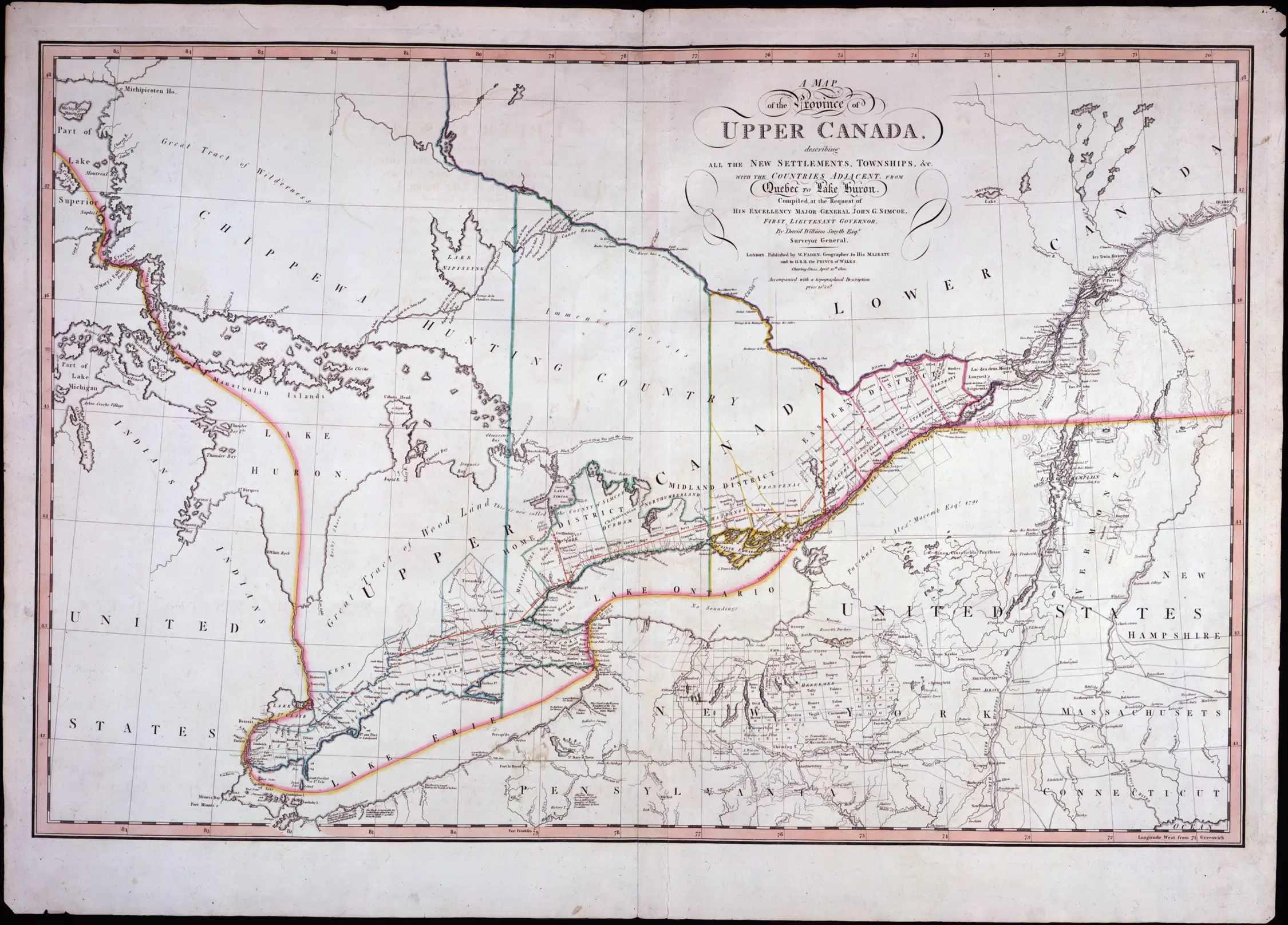
Starting in 1858, districts were created in Northern Ontario for the delivery of judicial and provincial government services to the local population. As populations grew new districts were created and boundaries changed.
Northern districts contain incorporated improvement districts, villages, towns, cities, and townships, but they are not incorporated themselves, unlike the counties in southern Ontario. This means that they have no council. Also, the northern districts should not be confused with the pre-1850 districts in Southern Ontario.
Click the following link to view maps of the district.
Click on the dates below to see maps showing the northern districts at various points in time between 1869 (when the first change to the 1858 districts occurred) and 1927.
The table below lists the names of the northern districts, the year they were created, and the districts from which they were created.
DISTRICT | CREATED FROM |
---|---|
Algoma |
Unorganized territory |
Cochrane |
Temiskaming District |
Kenora |
Rainy River District |
Manitoulin |
Algoma District |
Muskoka |
Unorganized Territory |
Nipissing |
Unorganized territory |
Parry Sound |
Unorganized territory |
Rainy River |
Thunder Bay District |
Sudbury |
Algoma District |
Temiskaming |
Algoma District |
Thunder Bay |
Algoma District |
The following maps form part of the Territorial Series of maps published by the Department of Lands and Forests (later the Ministry of Natural Resources) between 1950 and 1972. Maps 22 to 27 were produced at a scale of 1:506,880 (or, 1 inch to 8 miles). In addition to showing towns, roads, waterways and governing boundaries, Territorial maps also feature provincial parks, rail lines, and water and land spot elevations. Most maps covering northern Ontario show Red Cross outposts, gas pipelines, hydroelectric transmission lines and reserves. These maps are found among Archives of Ontario series RG 1-707 Ministry of Natural Resources topographic maps, which includes additional maps to those included in this page.
Map Name | Map Number |
---|---|
The Southern Part of the Province of Ontario Map – (Detail) Algoma District, 1950 |
Map 21a |
Map 22 |
|
Map 23 |
|
Districts of Rainy River, Kenora, and part of Kenora Patricia Portion, 1968 |
Map 24 |
Districts of Rainy River, Kenora, and part of Kenora Patricia Portion, 1957 |
Map 24a |
Map 25 |
|
Map 26 |
|
Map 27 |