Government of Ontario

Ontario.ca     |    


Ministry of Public and Business Service Delivery


The Changing Shape of Ontario: a Guide to Boundaries, Names and Regional Governments - Page Banner
 

Early Districts and Counties 1788-1899


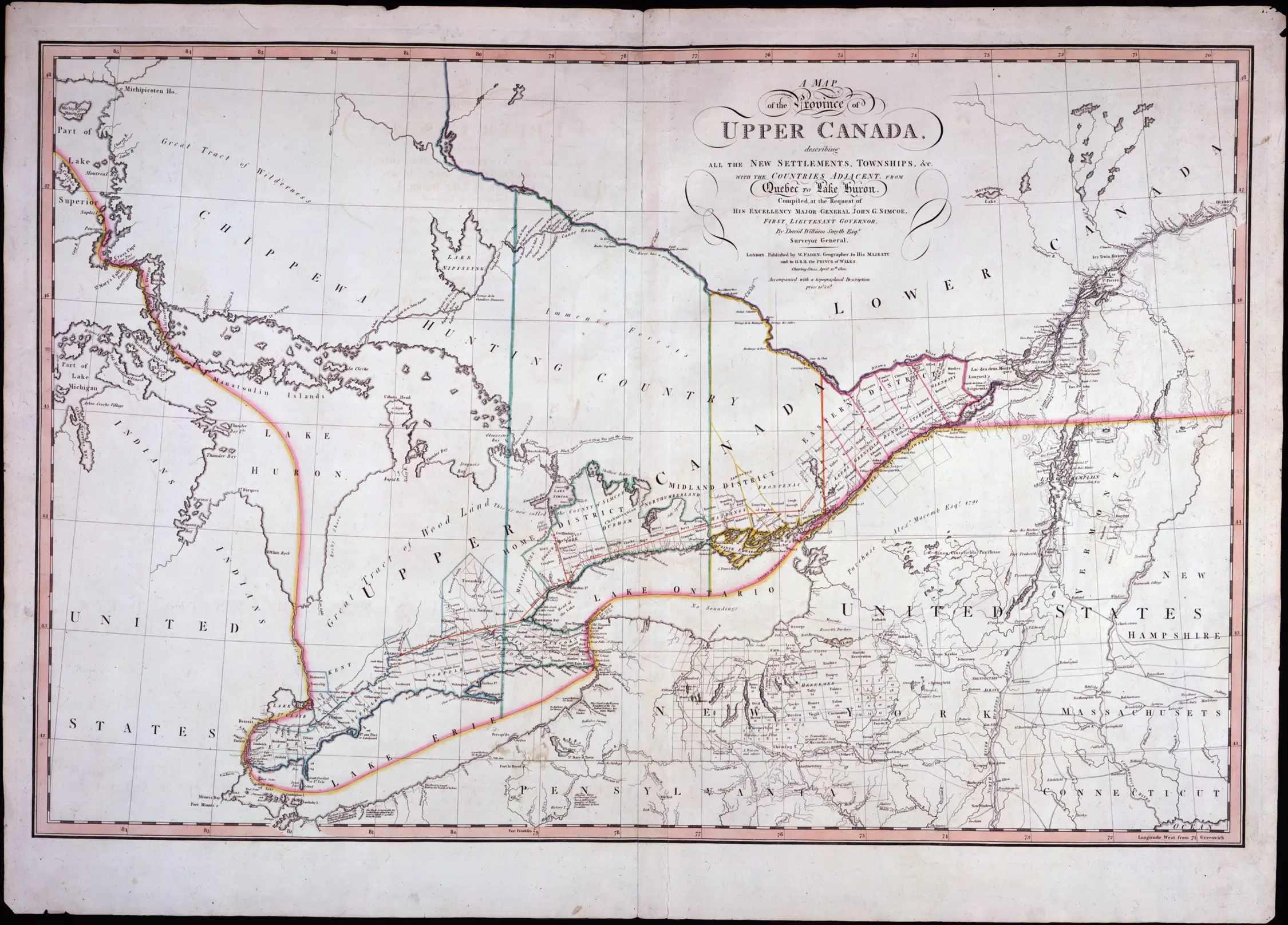
In 1788 the government of the Province of Quebec and its successors (Upper Canada, Province of Canada and Ontario) began creating districts and counties to serve administrative needs at the local level.

Districts


Districts formed the basis for local administration and courts. The first districts, created in 1788, were:

Map of Ontario Districts - 1788
Click to see a larger image

Province of Ontario, 1788
  • Hesse (renamed Western in 1792), comprised of the Lake Erie and Windsor areas. (Southwestern Ontario).

  • Nassau (renamed Home in 1792), comprised of the western Lake Ontario and Niagara areas. (South-Central Ontario).

  • Mecklenburg (renamed Midland in 1792), comprised of the eastern Lake Ontario area.

  • Lunenburg (renamed Eastern in 1792), comprised of the St. Lawrence-Quebec border area. (Eastern Ontario).

Counties


Upper Canada created the first counties in 1792 for election and militia purposes; they were also the basis for the surveying and creation of townships, and for land registration. Counties existed within the districts.

 Map of Ontario Counties, 1792
Click to see a larger version

Province of Ontario, 1792

As the population grew the original districts were renamed, expanded and subdivided. The Province of Canada established District councils in 1841 for municipal administration purposes.

When districts were abolished in 1849, county governments took on the responsibilities formerly borne by the district governments. However, the construction of the new county courthouses and administrative quarters took time. As a result, the transfer of judicial and administrative duties took several years and varied for each county. Also, some counties were "united" for administrative purposes for short periods of time.

In 1869 the government of Ontario began dividing Northern Ontario into districts beginning with the District of Muskoka. Unlike the earlier districts, it did not have a centralized government and existed only for the delivery of administrative and judicial services.

The creation of new counties and townships within them was completed by 1899.

For More Information on Districts and Counties


Click here for a table listing the Pre-1850 districts, their years of creation, and the counties that existed within each one.

Click here for a table listing the Pre-1850 counties, their years of creation, the counties from which they were separated and the pre-1849 districts of which they were a part.

In 1953 regional municipalities started replacing some counties. Click here for information on that process.

Click on one of the dates below to see maps showing the evolution of the district and county system from 1788 to 1899.

Note the following when researching records of early southern Ontario districts and counties:

  • Many pre-1830 boundaries were very fluid, especially when dealing with Aboriginal or unsurveyed Crown Lands. As settlement patterns shifted over time, many surveyed townships moved between the different counties and districts.

  • Some administrative records created by district authorities, such as marriage registers, include post-1849 information. Others, such as estate files, are arranged by county. As well, records of a given county may include records of its predecessor.

  • The borders and sizes of many counties have changed radically over time. For example, two of the counties created in 1792, Ontario and Suffolk, had ceased to exist by the end of the 18th century. In 1792, Lincoln County consisted of four isolated electoral ridings. In 1798, Kent County consisted only of today's Raleigh Township but, by 1834, it comprised the County's current boundaries and all of Lambton County. York County's West Riding was divided once in 1816 to form Gore District (later Halton, Wentworth, Waterloo and Wellington Counties) and again in 1851 to form Peel County.

  • Counties, districts and townships in different areas of the province may have shared the same name. For example, Victoria County is different from the earlier Victoria District. As well, the first Ontario County (islands on the Saint-Lawrence River) was not the same as the second Ontario County (east of York County).

  • Ontario's judicial districts do not always have the same territorial boundaries as their similarly named administrative counties or districts. For example, while Lincoln and Welland Counties amalgamated to form the Regional Municipality of Niagara, their separate courts continued to exist as the Niagara North and Niagara South Judicial Districts (for Lincoln and Welland respectively). Until May 1980, the York Judicial District continued to encompass the original York County stretching from Lake Ontario to Lake Simcoe, despite the lower third of the county becoming the Municipality of Metropolitan Toronto in 1953 and the remaining territory becoming the Regional Municipality of York in January 1971.