
The Evolution of Ontario's Boundaries - 1867 Confederation
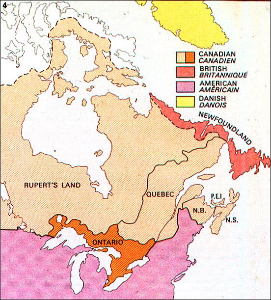
The British North America Act (1867) merged the Province of Canada, New Brunswick and Nova Scotia to form the Dominion of Canada. The provinces of Ontario and Quebec replaced the former Province of Canada.
Map scanned from the
Economic Atlas of Ontario / Atlas Économique de l'Ontario
W. G. Dean, Editor/ Directeur; G. J. Mathews, Cartographer/ Cartographe
Printed 1969 by University of Toronto Press for the Government of Ontario
The Evolution of Ontario's Boundaries 1774-1912 Home
1774 | 1791 | 1840 | 1867 | 1876 | 1880 | 1889 | 1912