
Premiers districts et comtés 1788-1899
Carte tirée de l'Economic Atlas of Ontario / Atlas économique de l'Ontario
W.G. Dean, Editor/Directeur; G.J. Mathews, Cartographer/Cartographe
Imprimé en 1969 par l'University of Toronto Press pour le compte du gouvernement de l'Ontario
Cliquer pour un agrandissement ( 218ko)
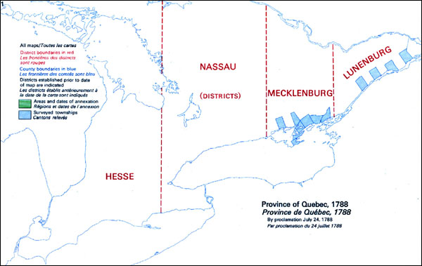
Province de l'Ontario, 1788
Cliquer pour
un agrandissement (219ko)
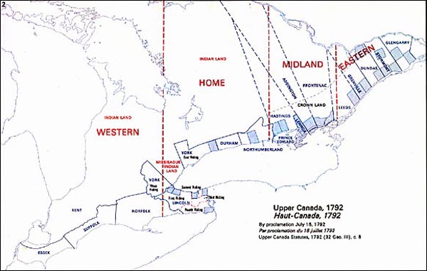
Province de l'Ontario, 1792
Cliquer pour un agrandissement (223ko)
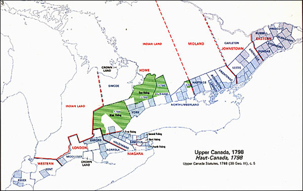
Province de l'Ontario, 1798
Cliquer pour un agrandissement (258ko)
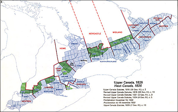
Province de l'Ontario, 1826
Cliquer pour un agrandissement (322ko)
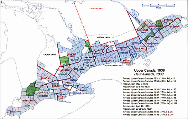
Province de l'Ontario, 1838
Cliquer pour un agrandissement (353ko)
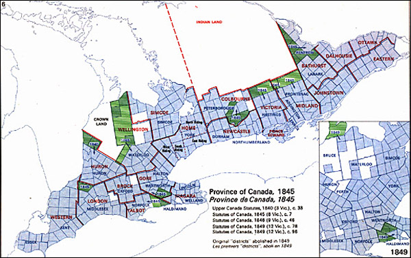
Province de l'Ontario, 1845
Cliquer pour un agrandissement (279ko)
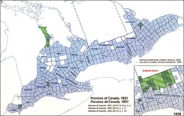
Province de l'Ontario, 1851
Cliquer pour un agrandissement (331ko)
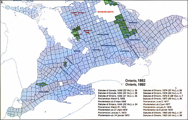
Province de l'Ontario, 1882
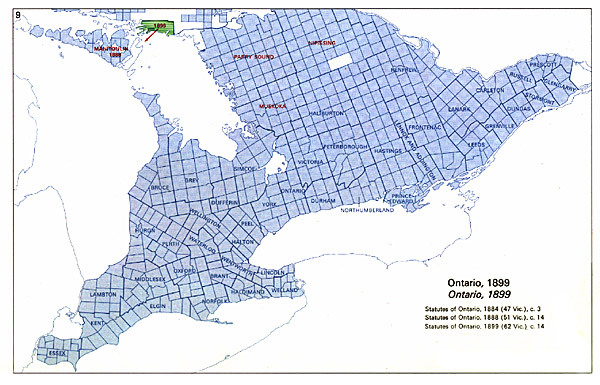
Cliquer pour un agrandissement ( 322ko)
Province de l'Ontario, 1899